
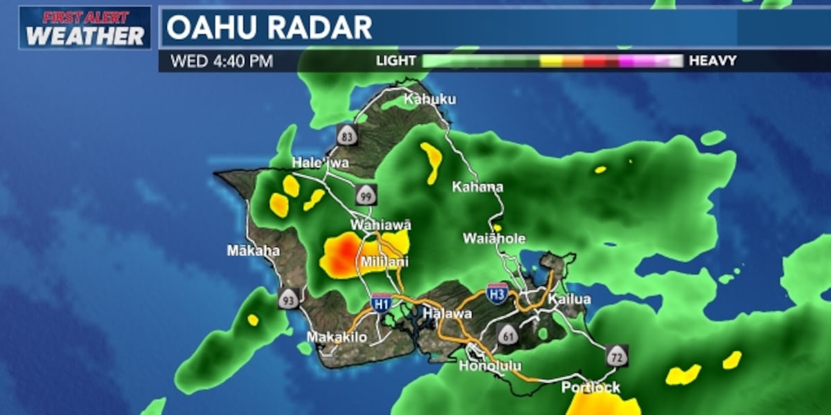
A flood watch continues to cover Oahu, Molokai, Lanai, Maui, Kahoolawe, and Hawaii Island through early Thursday as a slow‑moving surface trough delivers heavy rain and persistent thunderstorms. Residents are urged to remain vigilant, especially after schools on Molokai were shut on Wednesday because of flooded roads.
Heavy rainfall—up to 3 inches on Hawaii Island and 2 inches on Maui—has saturated low‑lying areas. The airmass overhead is holding double its usual moisture, threatening minor flooding across coastal communities and disrupting daily life.
Since Sunday, a surface trough has stalled over the Hawaiian Islands, producing heavy rain and thunderstorms that have saturated soils and swollen streams. The airmass above the islands carries twice the normal moisture, intensifying the rainfall and increasing the risk of flooding. The flood watch remains in effect for Oahu, Molokai, Lanai, Maui, Kahoolawe, and Hawaii Island through early Thursday. Kauai, however, is no longer under a flood watch, although the western end of the state experienced high saturation levels earlier in the week.
Molokai School Closures
All schools on Molokai were closed Wednesday after roads on the island flooded, preventing staff and students from safely reaching campuses. Transportation networks halted abruptly as drainage systems struggled to keep pace with the deluge. The closure affected more than 1,200 students and 300 teachers, highlighting the immediate impact of the weather on daily routines.
Precipitation totals varied widely across the region. Hawaii Island recorded a trace to about 3 inches of rain by Wednesday afternoon, swelling local streams and saturating soil basins. Maui saw roughly 2 inches of rainfall, causing several low‑lying roads to become impassable. Oahu and Lanai also reported rainfall in the 1‑to‑2‑inch range, with localized flooding in coastal neighborhoods.
Weekend Improvement Expected
Forecasters project a significant improvement in conditions by Thursday or Friday. The lingering moisture plume is expected to clear the area entirely, allowing the trade winds to return. Meteorologists anticipate the eastern movement of the surface trough away from the island chain, which should restore normal trade wind patterns over the weekend.
The return of steady trade winds is expected to sweep away the remaining humidity and re‑establish standard weather patterns. Residents are encouraged to monitor local advisories, especially those living in low‑lying or coastal areas that were recently saturated. While the flood watch will lift early Thursday, officials advise remaining cautious until conditions stabilize.
The Hawaiian Islands are navigating a challenging weather event that has already led to school closures and widespread flooding concerns. With the flood watch scheduled to lift early Thursday, residents can anticipate a gradual return to normalcy as the trade winds resume their protective role. Stay informed, stay safe, and keep an eye on local updates as the weather evolves.